Sanborn Map courtesy of Nancy Calhoun
Afton Business District - 1910
Sanborn Map courtesy of Nancy Calhoun
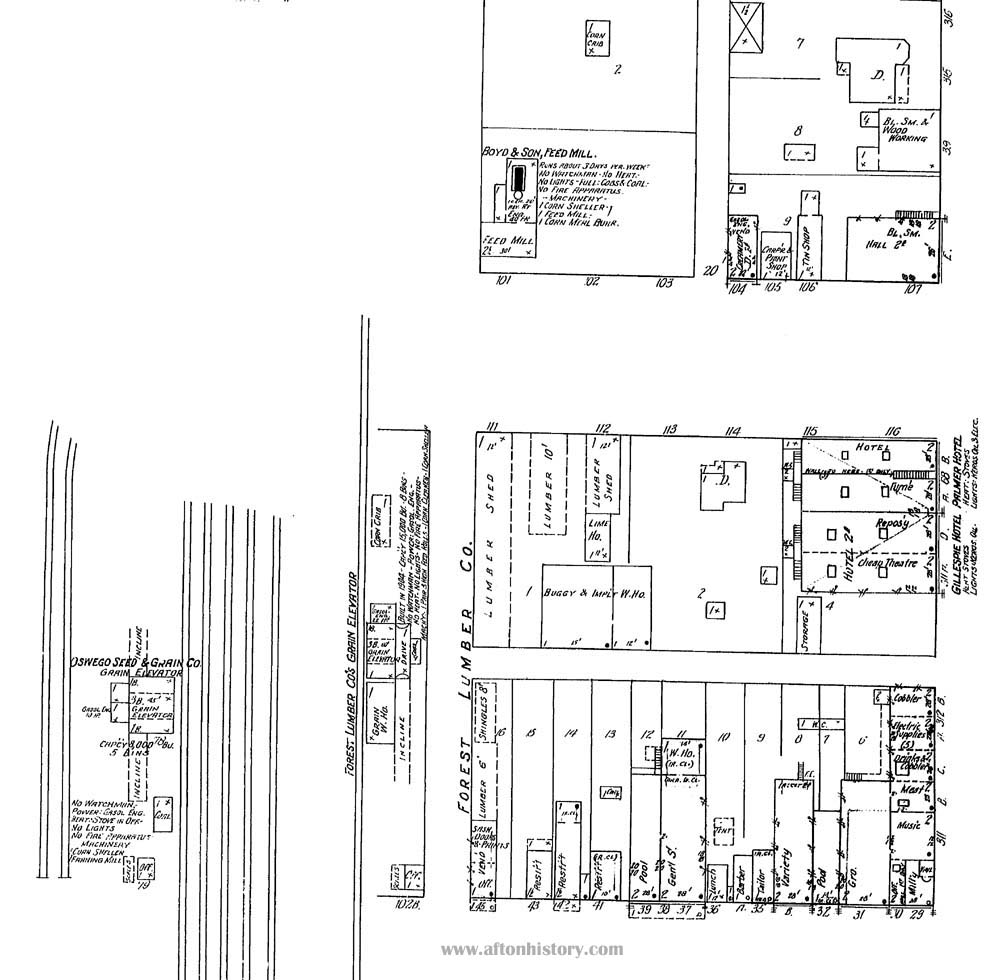
| The bottom of the map of the east side of North Main Street depicts many businesses by 1910. The right side of the map shows businesses along what became the highway. On the left side of this map one can see the railroad tracks and the Oswego Seed & Grain Company. At the top of the map is the next block east of Main Street, which contains several businesses including Boyd & Son Feed Mill. |
![]()